
Choose your riding dates around the most demanding section of the route. A warm day in Kunming can be followed by a cold highland stage, while a longer crossing may reach its final region several weeks after departure. Compare the regions below before fixing your travel dates.
Updated 7 October 2026
Compare your main route and date range
| Route | Date planning | Allow for |
|---|---|---|
| Kunming–Dali–Lijiang | Compare March–April or late October–November with the wider Yunnan season guide. | Cool evenings, changing mountain weather and holiday demand. |
| Jianshui–Yuanyang–Pu’er | November–April is a useful starting range for the drier season and terrace reflections. | Fog, farming and irrigation change the terrace views. |
| Nujiang and Meili | Assess the valley roads and the colder highland extension separately. | A dry valley does not establish that a high connection is open. |
| Tibet and longer crossings | Check each region on the dates the motorcycle reaches it. | Road operation, permits, cold mornings and room for delays. |
Yunnan’s provincial climate overview describes a broad May–October wet season and November–April dry season. These are regional climate patterns; use a current local forecast for riding decisions. The Honghe terrace-season description provides background for a Yuanyang photography stay.
Choose the hardest part of the route first
There is no single best month for every motorcycle journey in China. Start with the section least able to tolerate the wrong conditions: a high pass, a long wet valley stage or a remote plateau crossing. Then check whether the rest of the itinerary fits that choice. A pleasant city forecast is not enough for a multi-region ride.
Use this guide for broad planning trade-offs, then obtain dated road and weather information. It does not confirm that a named road, pass or border will be open.
Southern Yunnan: terrace light and comfortable riding are different priorities
The Jianshui–Yuanyang–Pu’er section is often considered when travellers want a lower-latitude start. Yet terrace appearance follows agricultural and water-management conditions, while road comfort depends on rain, fog and temperature. Decide whether photography or riding is the main purpose before fixing the dates.
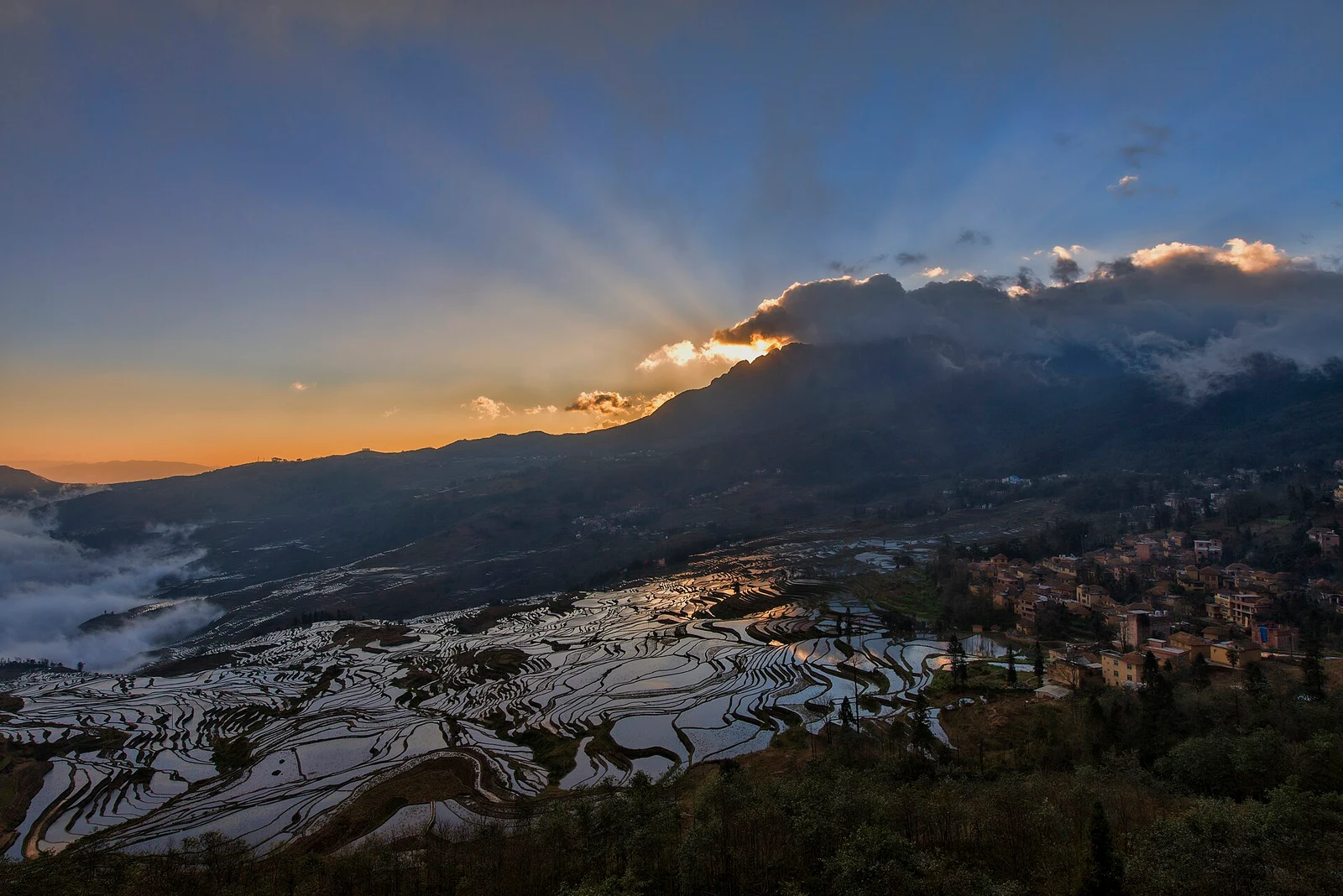
Water-filled terraces, green growth and harvest colours produce different pictures. A winter terrace photograph should not be used as a promise for a summer motorcycle departure. For a wider regional view, read Yunnan travel season advice, and request current conditions for the actual terrace stay.
Northwest Yunnan: link the valleys with the highlands
Dali and Lijiang can feel very different from Shangri-La and Feilaisi. Shoulder-season riding may offer attractive views, but early or late cold spells can affect exposed roads. Wetter periods call for more flexibility around visibility, surfaces and roadworks. Carry layers even when the lower towns feel warm.
The 16-day terraces-to-Meili route crosses these climate zones. If your available dates suit southern Yunnan better than the highlands, shortening the northern extension may make more sense than forcing the full route.
Nujiang and the Three Rivers: check connections as well as valleys
A valley road may be usable while the mountain connection you intended to use is not. For a Three Rivers journey, evaluate the route as a sequence of connections, including the repositioning between the Nujiang and Lancang corridors. Rain, falling debris, maintenance and traffic controls can change the realistic day plan.
Our Three Rivers motorcycle itinerary does not depend on a single Gongshan–Deqin crossing. Even with that alternative, the dated road plan needs checking and the group should retain room for changes.
Tibet: daylight, cold and sustained elevation
A Tibet ride needs a season assessment for the whole corridor, including its highest and most remote stages. Warmer months do not eliminate rain or road disruption; colder periods can bring difficult morning surfaces and shorten comfortable riding hours. Visibility is also separate from road safety: a clear photograph is not evidence of an easy ride.
Keep preparation and rest in the programme, and seek appropriate individual advice about high-altitude travel before committing. Lhasa sightseeing time is not a guarantee that every rider is ready for the same onward schedule. Compare the Kunming–Everest journey with the western Tibet and Guge itinerary according to your priorities.
Long crossings need a moving calendar
On a multi-week crossing, the weather at the exit may be different from the weather at the entry several weeks earlier. Evaluate the highest sector on the dates you will actually reach it. A southbound and northbound journey can therefore need different departure windows even when they share many towns.
Add public-holiday demand, office appointments and vehicle-document validity to that moving calendar. Read cross-China corridor planning before booking transport at either end.
A practical date-planning sequence
- List the places that matter most and the section you could omit.
- Identify the highest, wettest or most remote stage.
- Ask for the usual seasonal trade-offs and the current operational outlook separately.
- Check accommodation, documents and motorcycle availability for those dates.
- Keep a clear alternative if the key connection cannot be operated.
VeroTrip can use two or three possible date ranges to compare routes. That is more useful than selecting a supposedly perfect month before deciding where you want to ride.
Frequently asked questions
Is there a month suitable for every China motorcycle route?
No. Southern Yunnan, the northwest highlands, Tibet and the northern transit corridors have different planning constraints. Select a route and assess its most demanding section first.
Can I choose dates from a competitor’s tour calendar?
A calendar shows that operator’s advertised plan, not your motorcycle, documents or current road access. Request confirmation for your own arrangement.
Does clear weather mean the road is suitable?
No. Road surface, cold mornings, maintenance and local restrictions are separate checks. The team needs information about the road as well as the forecast.
Should a rainy forecast cancel the whole journey?
The operational decision depends on severity, road conditions and the available alternative. Build flexibility into the programme rather than assuming every wet day is either harmless or impossible.
What should I send when asking about dates?
Send two or three date ranges, the destinations that matter most, recent riding experience, the motorcycle arrangement and how many extra days you can allow.
Plan your ride with VeroTrip
Browse VeroTrip motorcycle tours and send VeroTrip your riding plans. Include your dates, nationality, riding experience, motorcycle arrangement and preferred daily pace so that the enquiry can be assessed against a specific journey.
Related destinations
Kunming · Dali · Shangri-La ·
Image credits
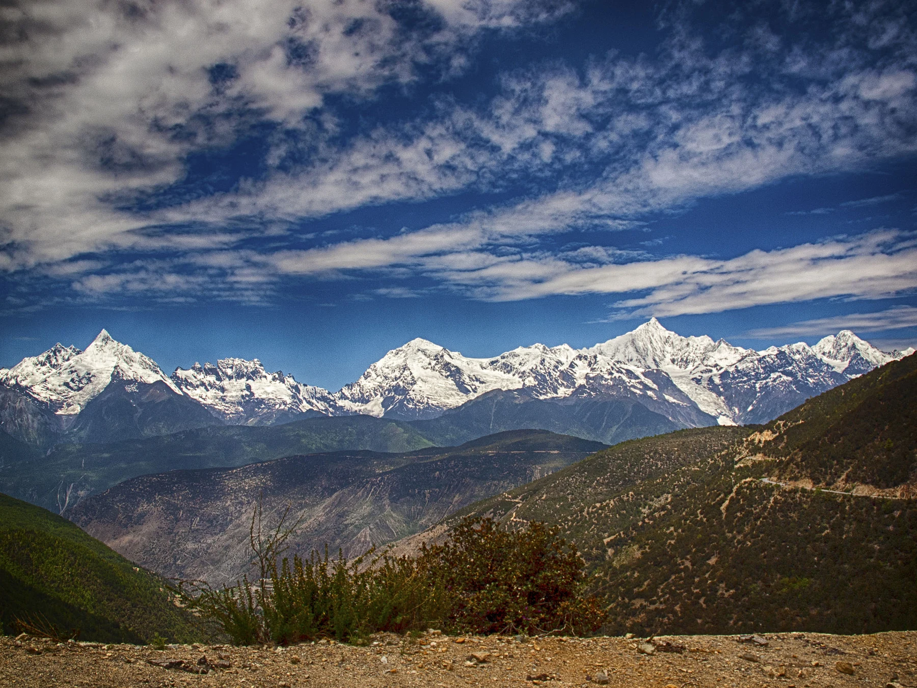
Meili Snow Mountains viewed from the Deqin area. Photo: Kevin Poh. Source and photographer · CC BY 2.0. Resized for web use under the same licence.
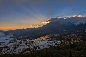
Water-filled Duoyishu rice terraces reflecting dawn light in Yuanyang. Photo: chensiyuan. Source and photographer · CC BY-SA 4.0. Resized for web use under the same licence.
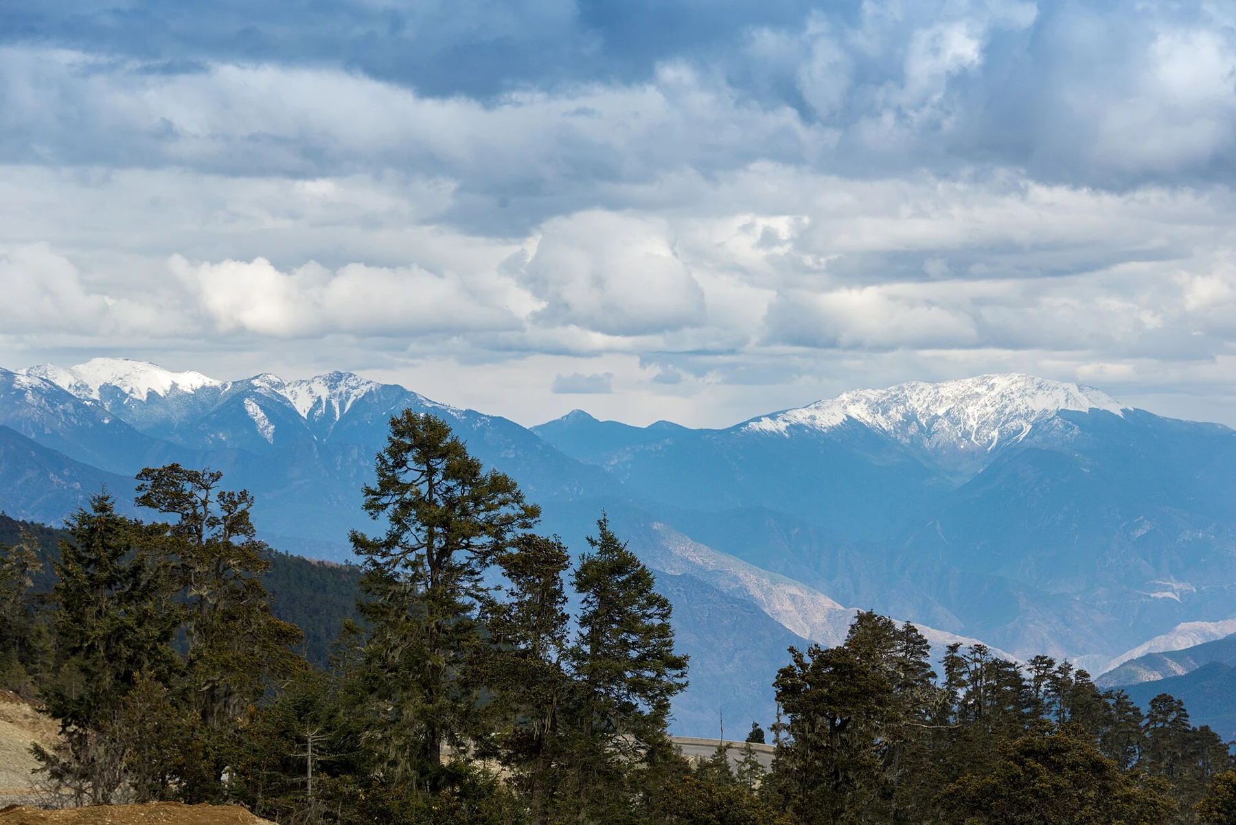
Meili Snow Mountains viewed from the Deqin area. Photo: xiquinhosilva. Source and photographer · CC BY 2.0. Resized for web use under the same licence.
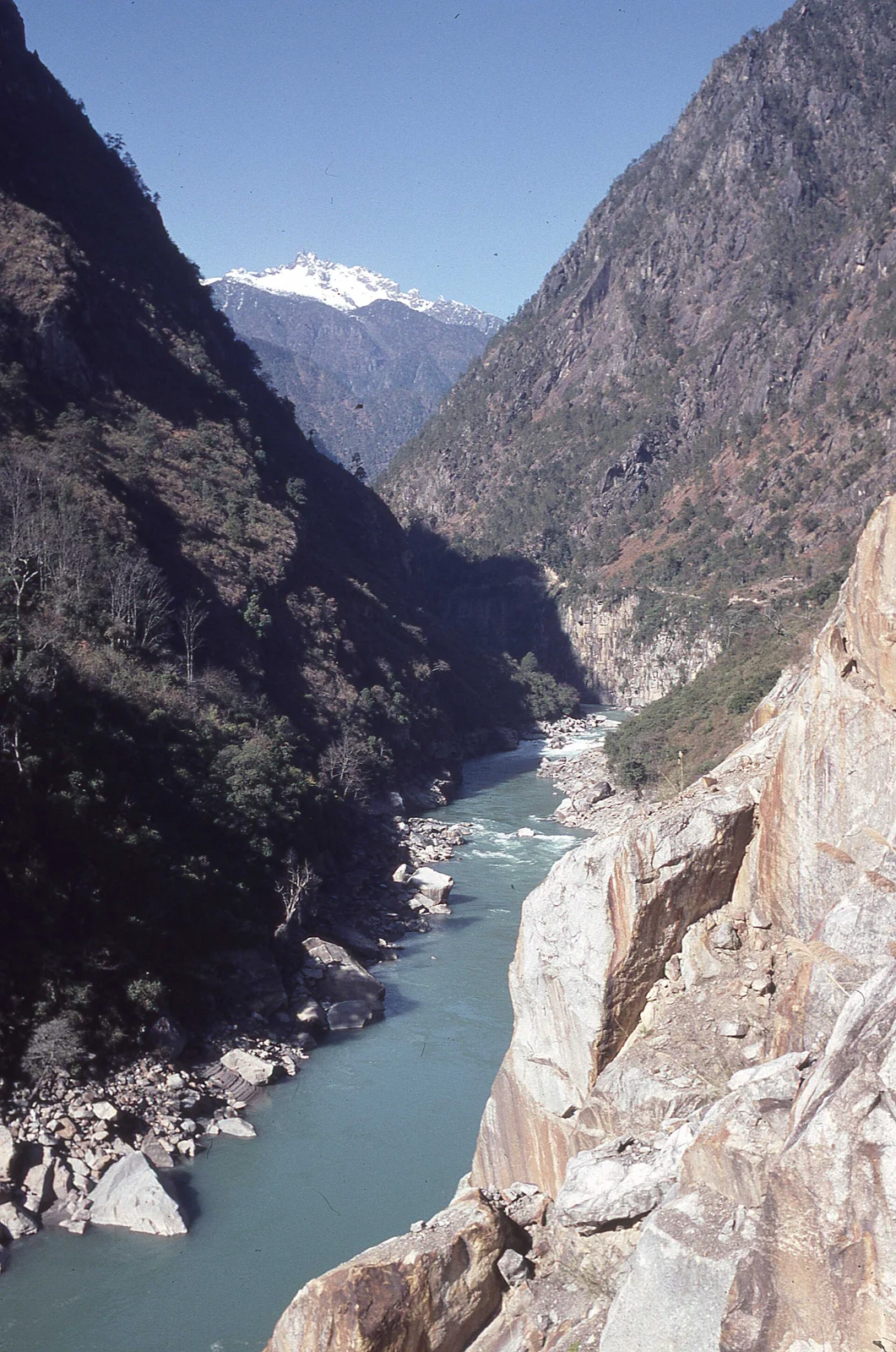
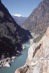
Nujiang River winding through the valley at Bingzhongluo. Photo: Michael Woodhead. Source and photographer · CC BY-SA 2.0. Resized for web use under the same licence.
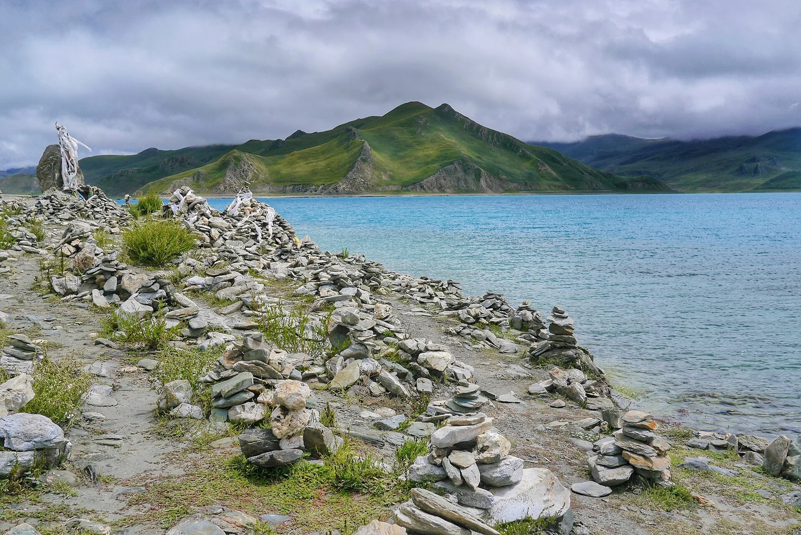
Yamdrok Lake shoreline. Photo: travel oriented from Manila, Philippines. Source and photographer · CC BY-SA 2.0. Resized for web use under the same licence.




.jpg)