Abuji Tso’s new and old routes are two different hiking commitments, even though they share the same lake name. The longer outline is approximately 28km return from Xilianpen Pass through several pastures. The shorter outline is approximately 12km return through the locally named Despair Slope and Big Platform. Compare the complete journey, the exact entrance and the return arrangement before comparing photographs.
Current access: Diqing’s September 2026 notice restricts the Xilianpen Pass approach. The old route needs its own exact-date access check. This comparison describes routes, not permission or a guaranteed departure.
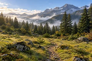
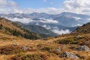
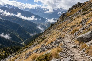
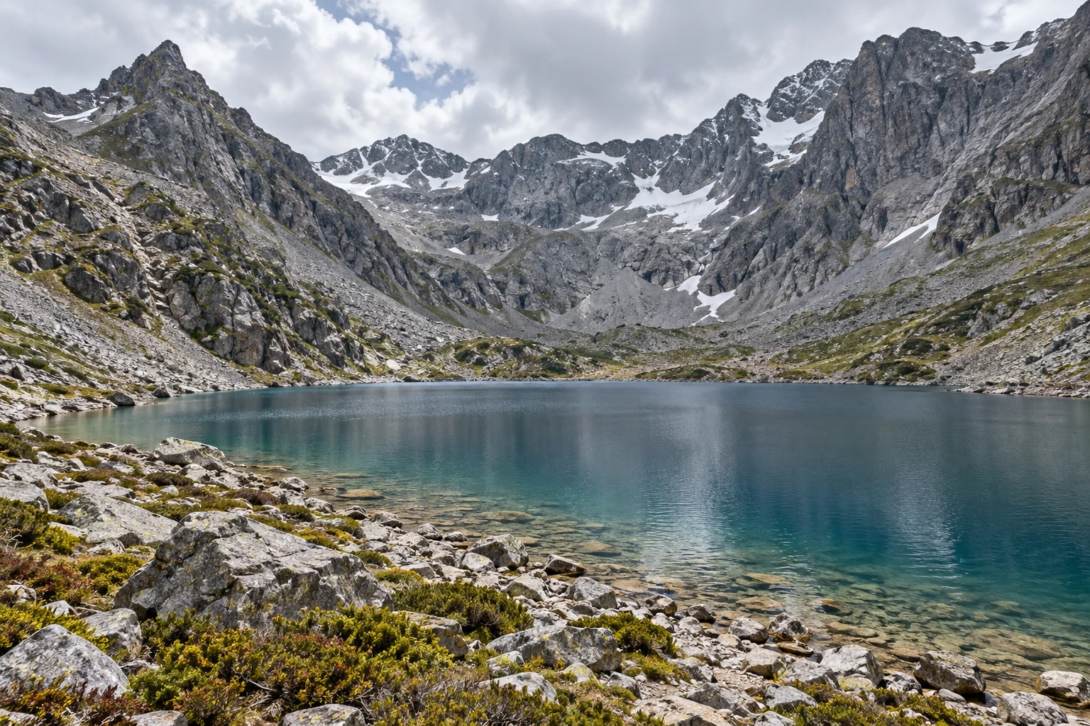
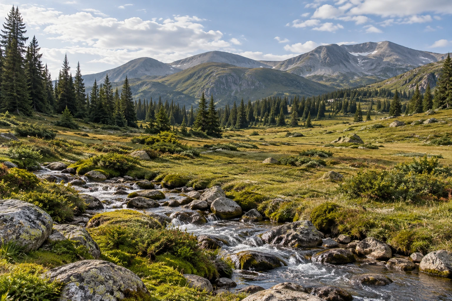
Landscape images in this guide are illustrated regional illustrations, not verified photographs of the named checkpoints.
The two route sequences
| Route | Named sequence | Reported return distance |
|---|---|---|
| New route | Xilianpen Pass → First Pasture → Second Pasture → Third Pasture → Snowline Camp → Abuji Tso | Approximately 28km |
| Old route | Jiye Camp → Despair Slope → Big Platform → Abuji Tso | Approximately 12km |
The 28km and 12km figures are used here as approximate return totals. They should not be attached to every product carrying the words “Abuji Tso.” A route that finishes at a different trailhead, stops at a high viewpoint or adds a lake circuit is a different specification. Have the start, finish and turnaround described together.
For the new route, keep this sequence intact: 洗脸盆垭口 → 一号牧场 → 二号牧场 → 三号牧场 → 雪线营地 → 阿布吉措. For the old route, the supplied sequence is 集野营地 → 绝望坡 → 大平台 → 阿布吉措. These Chinese names help avoid confusion when English spellings vary. They are identifiers for discussing the plan, rather than an offline navigation system.
What the distance changes
The new route’s main attraction is the longer progression through mountain environments. It offers a different kind of day from concentrating effort into a shorter approach: more time spent traveling through the landscape, with more distance still to cover after the first attractive pasture. A photograph of an open meadow says little about the complete return effort.
The old route compresses the outing. Its shorter total can leave more room in a travel itinerary, but descriptions of the demanding slope are a reason to look at ascent and descent as well as kilometres. Someone comfortable with a long level walk may still find a shorter mountain descent tiring. Choose according to the terrain you can manage, rather than the most reassuring distance.
Do not rank the routes by a single “easy” or “hard” label. Ask about the longest continuous walking section, surfaces underfoot, rest opportunities and the plan if someone needs to stop early. A sensible answer should describe the specific route and group, not rely on everyone being fit enough to keep up.
Why the old route can be called 11km or 12km
A 2024 local route description used approximately 12km return, while an April 2026 overview used approximately 11km. That difference should prompt a trailhead check, not an argument over which rounded number is universally correct. Vehicle access, the chosen start and the point where the walk turns around can change the day being described.
Our 12km outline follows the sequence supplied for Jiye Camp, Despair Slope, Big Platform and the lake. It does not assume that Jiye Camp and every older pasture start are the same location. Before arranging transport, ask for the Chinese meeting-point name and a confirmed collection point for the return.
A one-day label is not a complete itinerary
A day trip needs more than an advertised walking time. It includes getting ready, the transfer out, checks at the start, the walk, stops, the descent and the return to your accommodation. A product title can compress all of those into a few words. Your actual plan should leave enough room for a slower group member and changing conditions.
Keep an essential flight, train or long onward drive away from the end of a mountain outing. The cost of adding a buffer can be less than the pressure created by a fixed departure that evening. If your time in Shangri-La is short, a managed visitor outing may fit your trip better than a remote lake objective.
| Your priority | Consider | Clarify first |
|---|---|---|
| Changing pasture landscapes | Longer new-route reference | This approach is restricted; no current departure |
| A more compact mountain day | Old-route reference | Exact-date access, start and descent |
| A first high-altitude visit | Gentle arrival and a flexible programme | How you feel and which managed outing suits you |
| A fixed onward departure | Separate travel and outdoor days | The complete return margin |
What belongs in a useful quotation
Ask for the exact permitted route, group size, guide role and language, transfer endpoints, food arrangements and equipment responsibilities. Confirm whether a vehicle service is a transfer to the trailhead or a ride along any part of the outing. A vehicle shown in promotional material does not establish that it can operate on your chosen route or date.
Check the cancellation and alternative-day terms before paying. If the route is unavailable, an alternative should be named and accepted rather than quietly substituted. Insurance is another separate question: understand the activities, altitude and evacuation arrangements covered by your own policy. A general statement that a trip is “insured” is too vague to plan around.
Read the right next guide
The new-route stage guide explains the six names and the longer return commitment. The old-route guide focuses on the shorter approach and descent. Use the separate readiness and packing guide to assess preparation, then the season and photography guide for the wider trip.
Common questions
Is the 28km route simply a scenic version of the 12km hike?
It is a different approach with a longer reported return distance. The shared lake does not make the walking effort, entrance or access rules interchangeable.
Can I walk in on the new route and leave by the old route?
That would be a separate point-to-point itinerary, with different permissions and vehicle logistics. This guide does not provide or offer that variation. The new-approach restriction still matters.
Can a guide guarantee access?
A guide’s experience is valuable, but the permitted entrance and activity must be established independently. A booking, a route recording or a photograph of other walkers does not itself establish access.
Which route should I book?
Start with availability, your mountain experience and the time you have in Shangri-La. Share those details with Vero Trip through Plan My Trip. A suitable open alternative is a better outcome than a route selected only for its photographs.
Reviewed 28 October 2026. References: Diqing visitor notice; 2024 local route description; April 2026 route overview. Older descriptions do not confirm current entry.