
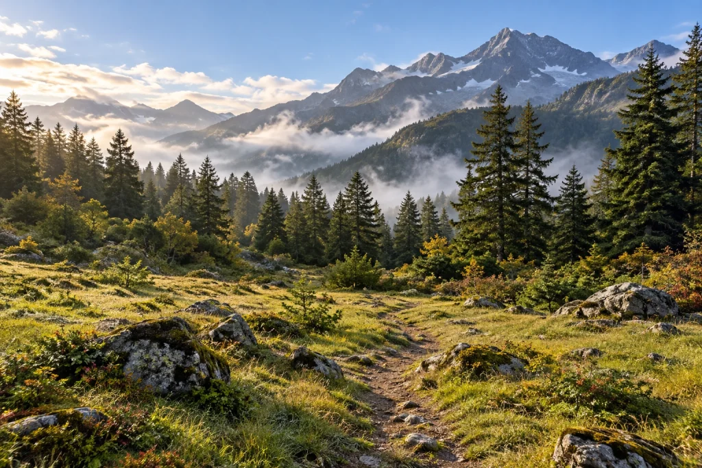
Abuji Tso Old Route: 12km Mountain and Lake Outline
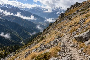
Gallery: photographs and travel illustrations
Use these views to compare the settings on the route. Illustrative images are identified in their individual notes. Your confirmed itinerary sets out guiding, visits and included activities.
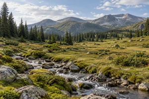
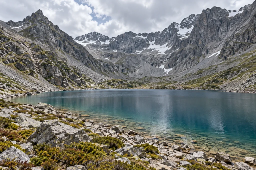
- Original regional scenery illustration for Vero Trip. This image does not document the exact checkpoint, trail condition, access permission, facilities, snow cover or included services. Built-in image generation; prompts and original output paths recorded in the Abuji batch workspace.
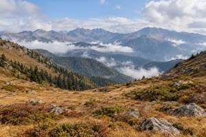
- Original regional scenery illustration for Vero Trip. This image does not document the exact checkpoint, trail condition, access permission, facilities, snow cover or included services. Built-in image generation; prompts and original output paths recorded in the Abuji batch workspace.
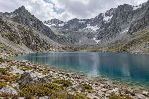
- Original regional scenery illustration for Vero Trip. This image does not document the exact checkpoint, trail condition, access permission, facilities, snow cover or included services. Built-in image generation; prompts and original output paths recorded in the Abuji batch workspace.
- Original regional scenery illustration for Vero Trip. This image does not document the exact checkpoint, trail condition, access permission, facilities, snow cover or included services. Built-in image generation; prompts and original output paths recorded in the Abuji batch workspace.
- Original regional scenery illustration for Vero Trip. This image does not document the exact checkpoint, trail condition, access permission, facilities, snow cover or included services. Built-in image generation; prompts and original output paths recorded in the Abuji batch workspace.
Overview
Route reference — exact-date access requires confirmation. This page describes the shorter Abuji Tso route. It does not establish that every entrance, lake section or service is currently available, and it is not an alternative entrance to the restricted Xilianpen approach.
The old route concentrates the journey into a shorter return hike, with the locally named Despair Slope giving it a different character from the long pasture approach. The planning distance here is approximately 12km return. Shorter distance should not be confused with a relaxed lake stroll: the upper mountain and the descent require their own time and attention.
Route sequence: Jiye Camp (集野营地) → Despair Slope (绝望坡) → Big Platform (大平台) → Abuji Tso (阿布吉措), returning by the approved route. Local publications have used approximately 11km and 12km totals from different described starts. The meeting point and turnaround must therefore be agreed together.
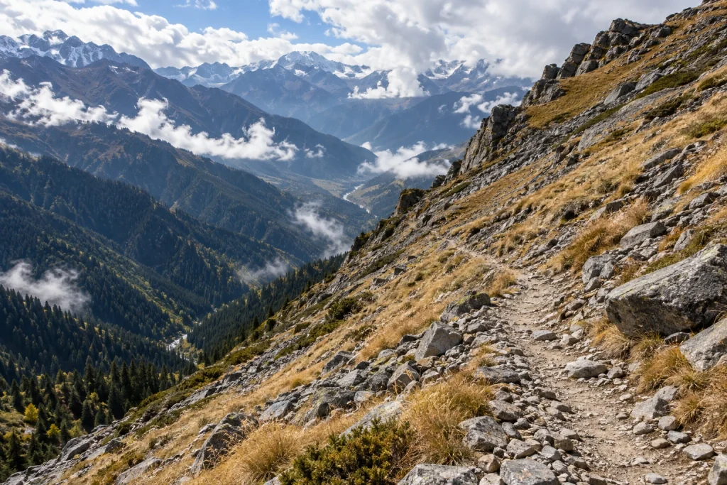
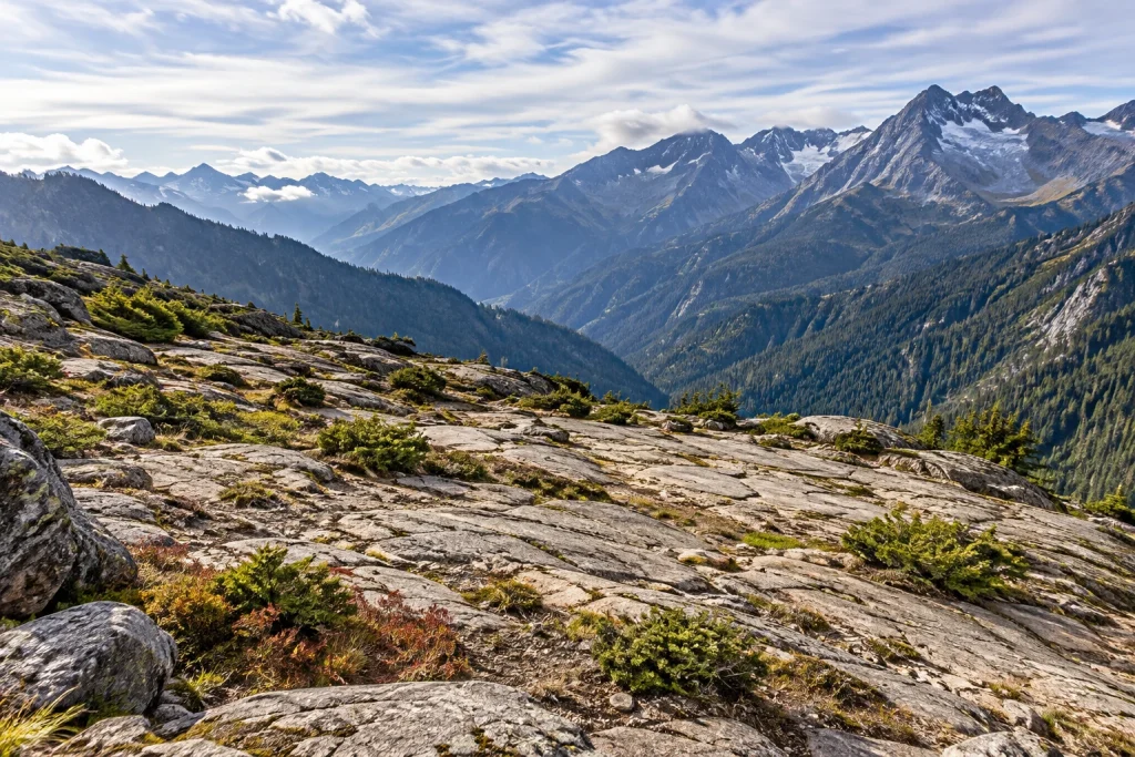
All landscape images on this page are travel illustrations, not verified photographs of these checkpoints. They do not show confirmed camp facilities or trail conditions.
YOUR JOURNEY
Route Map
Follow the itinerary in travel order.

Route schematic; not to scale or for navigation. See the Daily Itinerary for individual visits, optional activities and access conditions.
The four named stages
Jiye Camp · 集野营地
Use the full Chinese name when arranging an exact meeting point. Do not assume Jiye Camp is identical to every pasture trailhead mentioned in an older article. The cover illustration represents a forest-edge setting and does not show the real camp or any accommodation.
Despair Slope · 绝望坡
The nickname identifies the demanding section in descriptions of the old route. A suitable proposal should explain both the ascent and the return descent, with breaks and an agreed turnaround decision. Walking poles may help with balance when used appropriately, but they do not make an unsuitable route suitable.
Big Platform · 大平台
Think of this as a named stage in the route, not a guaranteed built viewing deck or staffed rest stop. Before a future departure, ask how the group will decide whether to continue from here. A clear rest point can help avoid a hurried push when the day is already becoming too long.
Abuji Tso · 阿布吉措
The lake gives the walk its purpose: mountain water, rock and the changing light of the high valley. Time at the shore should be part of the plan rather than a reward squeezed in before a rushed descent. An additional lake circuit or a higher viewpoint is not automatically included in the 12km outline.
A day built around a controlled return
An appropriate future day would start from a confirmed Shangri-La base, use the agreed old-route entrance and leave time to return to the same collection point. Departure time, transport duration and the walking window depend on the actual access arrangement and conditions. Avoid attaching an essential flight or train to the end of a mountain day.
The route is best considered by travelers who already understand their response to high altitude and can manage a sustained walk with a descent. It is not labelled suitable for all beginners, children or anyone simply because they have completed a similar distance at sea level. See the separate readiness guide before deciding.
Price and package scope
Price on request. A quotation would need to specify the permitted route, guide role and language, outward and return transfers, meals, entrance arrangements, equipment and cancellation terms. Nothing in this reference page confirms that those services are included. No hotel night, lake camping, horseback section, oxygen supply or rescue insurance is assumed.
Share your dates, walking experience and priorities through Plan My Trip. If this route is unavailable or unsuitable, ask for an open visitor itinerary rather than an unapproved variation.
Plan the details
Old-route preparation and stage guide · New versus old route · Altitude and packing
Route information reviewed on 28 October 2026: Diqing Daily’s 2024 route description and the April 2026 local overview. Historical descriptions are not current entrance or service confirmations.
Daily Itinerary
Conditional day outline. Once exact-date access is established, meet at the agreed old-route trailhead, continue through the named Despair Slope and Big Platform stages and use Abuji Tso as the proposed turnaround area. The approximate 12km return distance is a planning figure; the permitted trailhead and destination must match the agreed itinerary. Build in rests and a controlled descent, with the option to turn around earlier.
Stay: no hotel night included. Meals: no meal service confirmed. Transport, guide language and equipment: to be specified in a written proposal. No fixed departure or same-evening onward connection is promised.