7-Day Mount Gongga and Minya Konka Lodge-Based Hiking Tour
Overview
Quick Answer
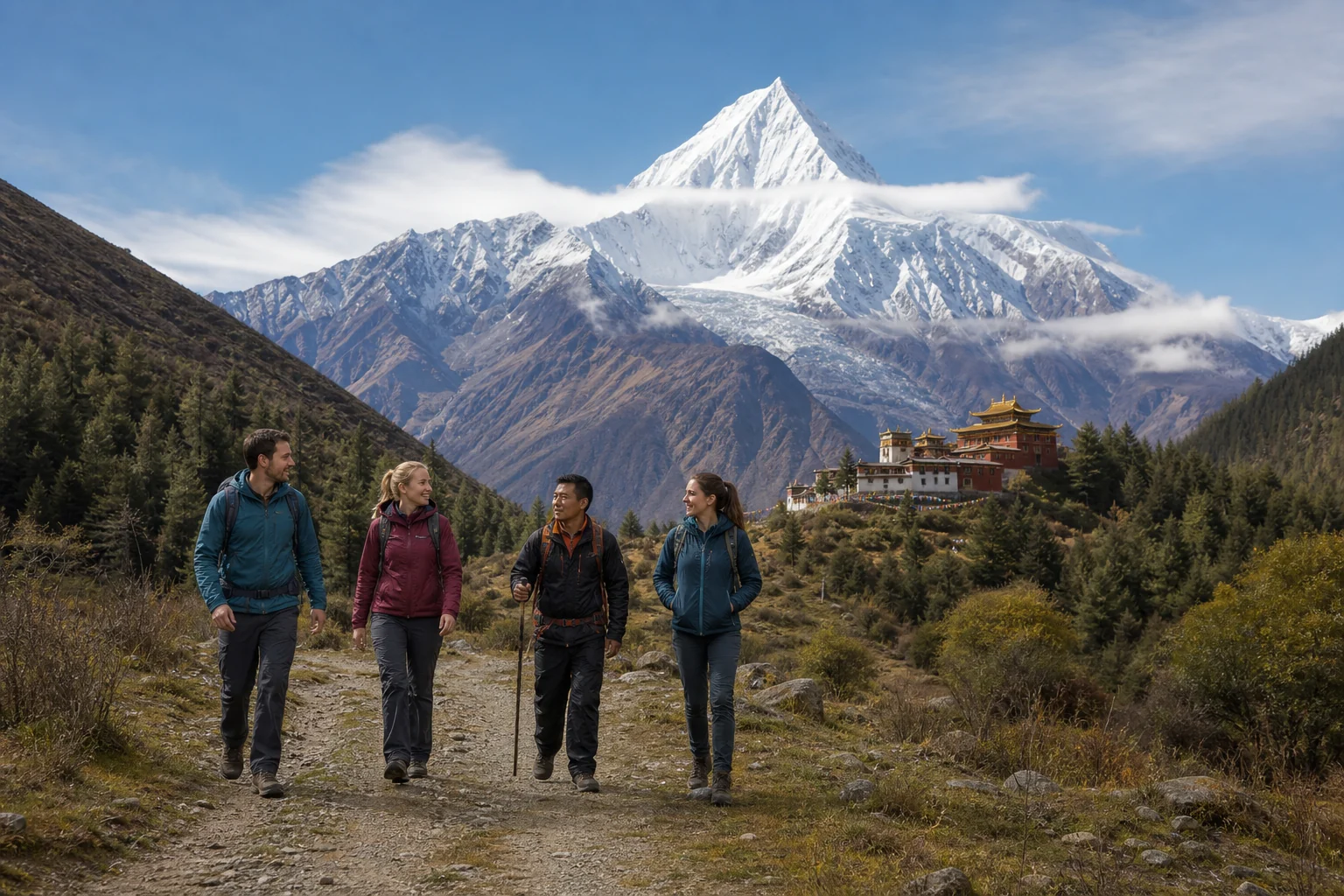
Mount Gongga, also called Minya Konka, is the highest mountain in Sichuan. This seven-day hiking tour approaches its eastern Tibetan Plateau valleys through Kangding and Xinduqiao, with village or monastery guesthouse nights rather than a continuous camping expedition. It is a hiking and viewpoint journey, not a summit climb.
Best for: travelers comparing Minya Konka trek options who want transparent daily walking, altitude, lodging and access notes before requesting a quote.
Tour Highlights
- See Mount Gongga / Minya Konka from quieter trekking valleys rather than only a roadside pass.
- Acclimatize through Kangding and Xinduqiao before the longer hiking days.
- Walk to the historic Gongga Monastery and a weather-dependent base-camp viewpoint.
- Use local guesthouses and vehicle support to avoid carrying a full expedition load every day.
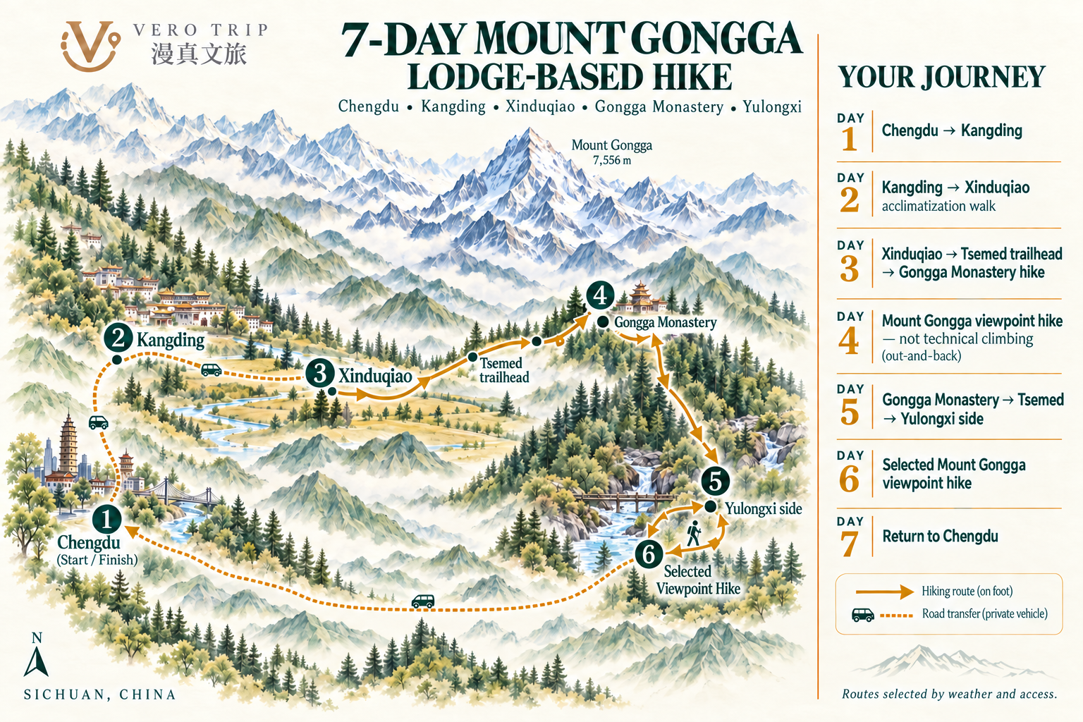
Your Route Map
Itinerary at a Glance
| Day | Route | Main plan |
|---|---|---|
| Day 1 | Chengdu to Kangding | Enter Western Sichuan | Drive from Chengdu to Kangding, the traditional gateway between the Sichuan Basin and the eastern Tibetan Plateau. |
| Day 2 | Kangding to Xinduqiao | Acclimatization Walk | Cross toward Xinduqiao and take a gentle 2–4 hour acclimatization walk among open valleys and village scenery. |
| Day 3 | Xinduqiao to Tsemed Trailhead | Hike to Gongga Monastery | Use a local vehicle for the remote road to the Tsemed side, then begin the walk toward Gongga Monastery. |
| Day 4 | Mount Gongga Base-Camp Viewpoint | Out-and-Back Hike | Walk toward the legal base-camp or glacier viewpoint available for the date, usually climbing from roughly 3,700 m toward 4,100–4,200 m. |
| Day 5 | Gongga Monastery to Tsemed | Descend and Transfer toward Yulongxi | Descend from the monastery area to the roadhead, normally 4–5 hours, and meet the local vehicle. |
| Day 6 | Selected Mount Gongga Viewpoint | Weather-Dependent Day Hike | Take a second viewpoint hike selected from routes legally open near the village base. |
| Day 7 | Western Sichuan to Chengdu | Return through the Mountain Corridor | Return to Chengdu by private vehicle, with stops determined by traffic, weather and the operating mountain road. |
Tour at a Glance
| Travel style | Private guided lodge- and guesthouse-based trek |
|---|---|
| Walking | Four hiking days, commonly 4–7 hours per day |
| Highest planned walking point | Usually around 4,200 m; exact viewpoint depends on local access |
| Accommodation | Kangding/Xinduqiao hotels plus simple village or monastery guesthouses |
| Best time | May–June and September–October |
| Difficulty | Challenging; remote roads, simple lodging, altitude and weather-dependent viewpoints |
Is This Hiking Tour Right for You?
7-Day Mount Gongga and Minya Konka Lodge-Based Hiking Tour is designed for active travelers who understand that mountain weather, local operating rules and altitude can change the final trail. Distances and elevations are planning ranges, not a promise that every viewpoint or summit will be reached. Your guide can shorten or reroute a day when safety requires it.
Related Hiking Tours and Planning Guides
Customize This Private Hiking Tour
Share your dates, hiking experience, preferred hotel level and tolerance for simple mountain lodging through Plan My Trip. We will reconfirm guides, local transport, trail access, pack support and the bad-weather alternative before pricing the departure.
Daily Itinerary
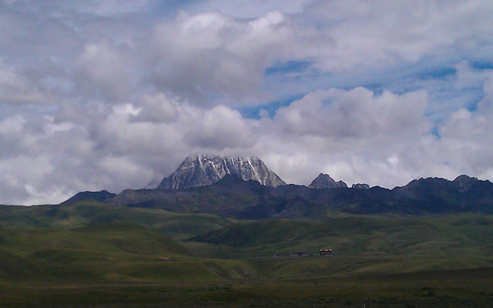
Drive from Chengdu to Kangding, the traditional gateway between the Sichuan Basin and the eastern Tibetan Plateau. Stop as road and daylight allow, then sleep around 2,500–2,700 m. The purpose of the first day is a gradual altitude transition, not a late mountain hike.
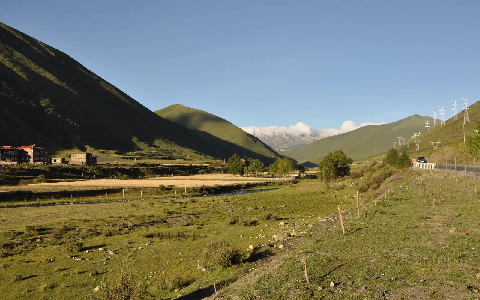
Cross toward Xinduqiao and take a gentle 2–4 hour acclimatization walk among open valleys and village scenery. Sleep around 3,300–3,500 m. The guide traveler feedback everyone's response to altitude before confirming the next day's remote approach.
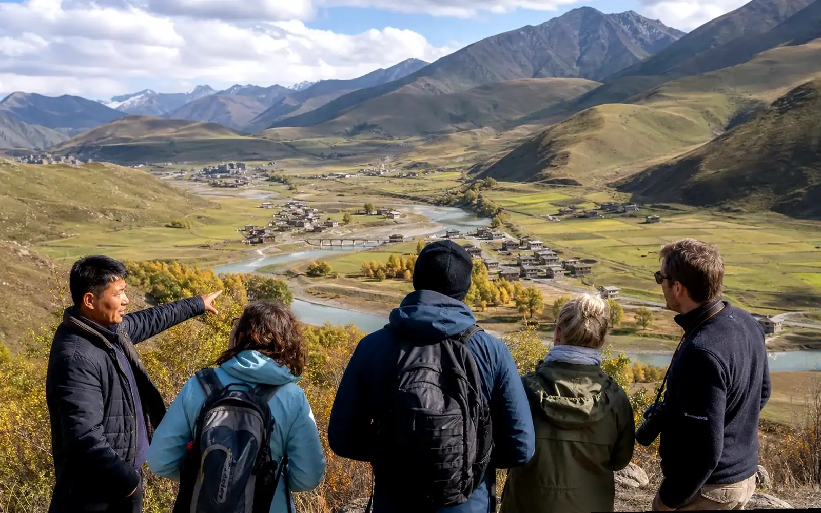
Use a local vehicle for the remote road to the Tsemed side, then begin the walk toward Gongga Monastery. A typical stage is about 4–6 hours, with the exact trailhead governed by road and access conditions. Overnight in a simple monastery or village guesthouse; facilities are basic and heating can be limited.
Walk toward the legal base-camp or glacier viewpoint available for the date, usually climbing from roughly 3,700 m toward 4,100–4,200 m. Allow about 6–7 hours round trip. This is a viewpoint hike beneath Mount Gongga, not access to the technical climbing route. Return to the same guesthouse.
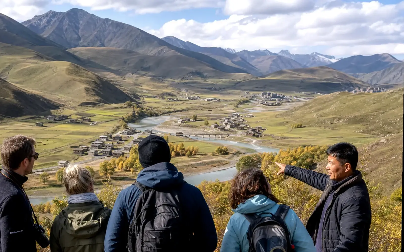
Descend from the monastery area to the roadhead, normally 4–5 hours, and meet the local vehicle. Continue toward the Yulongxi or Shangmuju side using the road that is operating for the season. Sleep in a simple village guesthouse or return to a more comfortable valley hotel if access requires it.
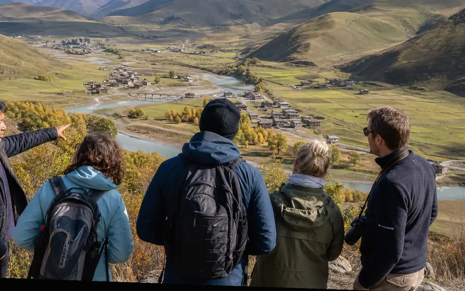
Take a second viewpoint hike selected from routes legally open near the village base. The guide chooses distance and elevation around weather, road status and recent access rules; allow 4–6 hours. If clouds hide the peak or a route is closed, use a lower valley or cultural walk rather than forcing an unsafe alternative.
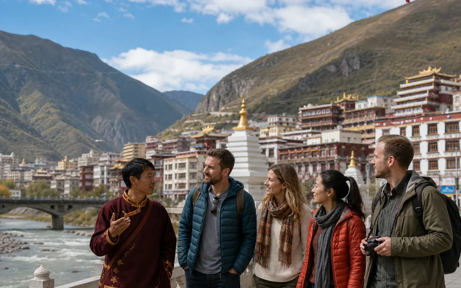
Return to Chengdu by private vehicle, with stops determined by traffic, weather and the operating mountain road. This is a long transfer day. Keep the evening free and avoid booking a tight same-day flight connection.
What's Included & Excluded
Included
- Private English-speaking guide for the confirmed hiking days
- Private or locally required transport shown in the final itinerary
- Accommodation shown in the confirmed proposal
- Entrance fees, permits and local support specifically listed for the departure
- Pack support or camp services only where stated in the final quote
Not Included
- International and domestic flights or trains not listed
- Travel insurance, visas and personal medical costs
- Unlisted meals, drinks, tips and optional activities
- Personal hiking clothing and equipment unless the quote states otherwise
- Costs caused by weather, road closure, evacuation or itinerary changes outside the included services