A three-day Nanjiluo and Meili Snow Mountain loop combines a full mountain walking day with two very different river valleys, a Lisu hillside village and a chance of sunrise over Meili. Start and finish in Lijiang, spend the first night around Badi and the second around Feilai Temple, and keep the middle day for Nanjiluo. This compact journey suits walkers who have already allowed time to adjust to Yunnan’s altitude and can manage a long day outdoors.
The route below follows the supplied three-day itinerary, with practical changes to help you plan realistically. Its Nanjiluo day is described as approximately 22 km and eight hours of walking across the full day. That figure includes the approach and return; it is not a distance for a short stroll between the upper lakes. The actual walking start, approved circuit and distance must be confirmed for your travel date.
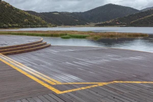
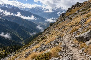
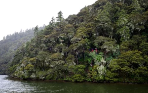
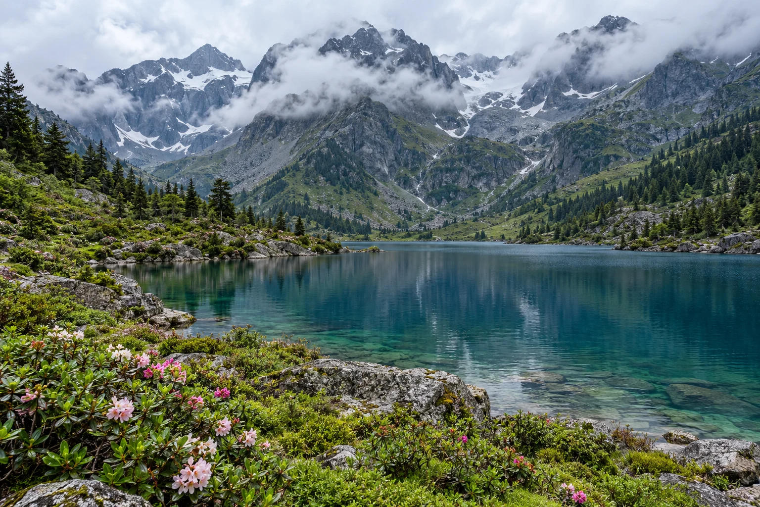
Image note: the cover and two Nanjiluo approach/lake illustrations are regional scenery, clearly labelled. They do not identify exact numbered lakes or show current trail conditions. The other eight images are real photographs, credited individually below. Planning review: 28 October 2026.
Nanjiluo and Meili: the three-day route at a glance
| Day | Main route | What to allow for | Overnight |
|---|---|---|---|
| 1: river valleys and village life | Lijiang → Shigu First Bend → Qizong → Tacheng → Kangpu → Yezhi/Tongle → Badi | A substantial road day with selected village and river stops | Badi area |
| 2: Nanjiluo walking day | Badi → visitor centre → Achidaga → Hazhiduo → Forty-Three Bends → Lakes 1–5 → Feilai area | The source estimates about 22 km / 8 hours for the whole hike; verify the current drop-off and permitted route | Feilai Temple area |
| 3: Meili sunrise and return | Feilai → Jinsha Great Bend → Helong Bridge → Napa Lake viewpoint → Dukezong → Lijiang | An early start followed by a long sightseeing and transfer day; sunrise depends on cloud | Lijiang, if staying after the loop |
Three days is the travelling loop, not the ideal length of your entire Yunnan visit. Add time beforehand for acclimatisation, and leave a buffer after the return. For a wider trip, our Yunnan hiking guide helps put mountain walks and transfer days in context.
Day 1: Lijiang to Badi, via Shigu and Tongle
Shigu: the First Bend of the Yangtze
The first scenic stop is near Shigu, where the Jinsha River—the upper Yangtze—makes the turn known as the First Bend of the Yangtze. It introduces the scale of the river landscape before the road leads farther into northwestern Yunnan. Allow a relaxed pause for the riverside setting and town surroundings rather than planning a long detour or climb into an already full driving day.
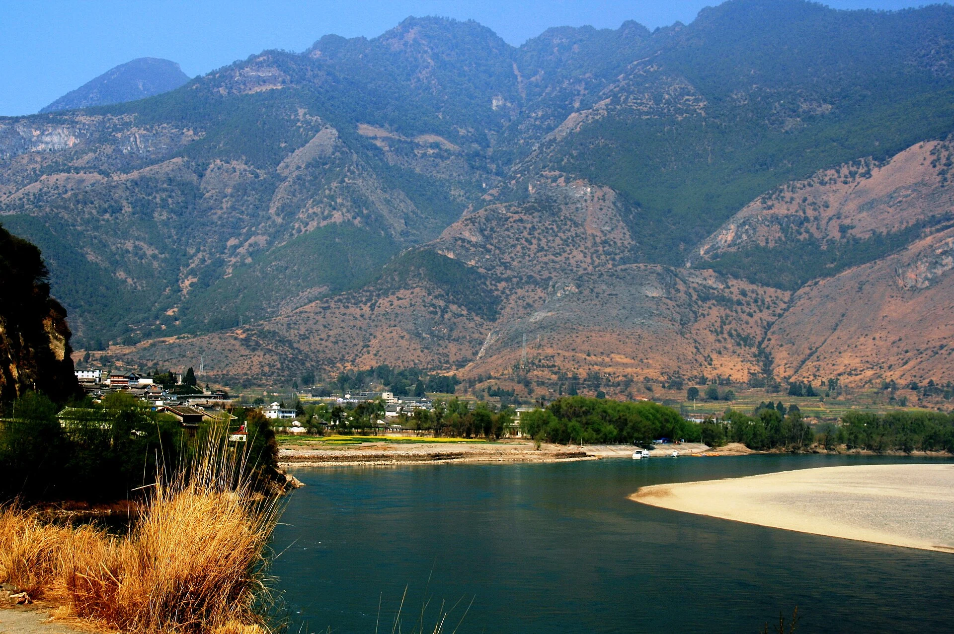
There are two different river-bend stops in this itinerary. Shigu’s First Bend belongs to day one. The Jinsha Great Bend, often called Moon Bay on this northern route, belongs to day three near the Benzilan–Deqin section. They are separate places and should not share a single map pin or photo caption.
Tongle: a Lisu village above the valley
Qizong, Tacheng and Kangpu form part of the onward road corridor before the Yezhi and Tongle area. The highlight is Tongle, where timber homes step up a wooded hillside. The village gives this journey a human scale after the broad river views: take time to look at the relationship between the houses, footpaths and slope, rather than treating it as a quick roadside backdrop.
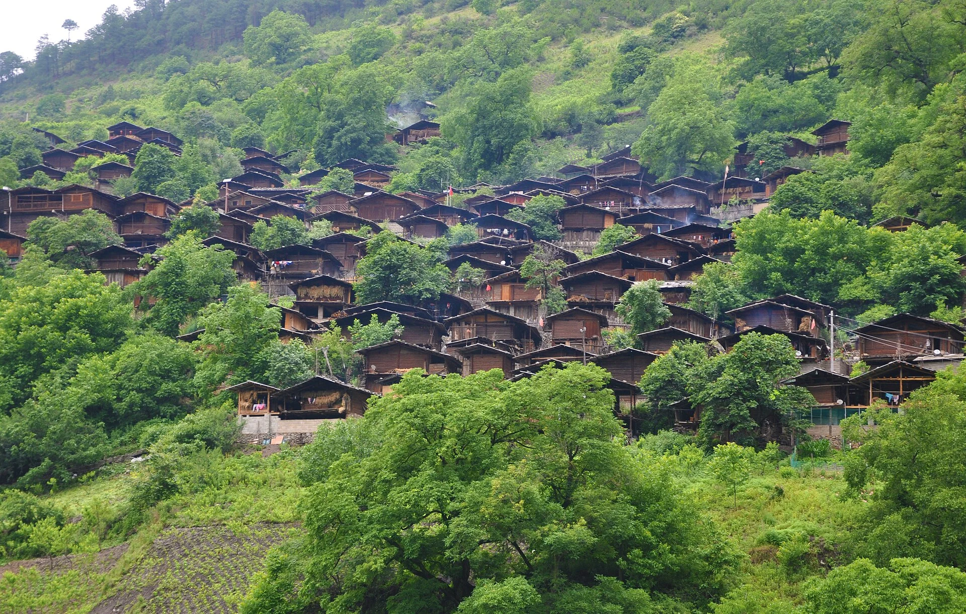
Tongle is a lived-in village. Ask before photographing people or entering a courtyard, keep voices low near homes, and let residents pass on narrow paths. A cultural performance, home visit or local meal needs its own arrangement; none should be assumed from a scenic stop alone.
Badi: settle in before the mountain day
Continue to Badi in the Lancang River valley for the first night. Its role in this loop is practical as well as scenic: staying in the area positions you for the Nanjiluo approach the next morning. Confirm the exact accommodation address and departure meeting point before dinner, since the walking day requires an early, organised start.
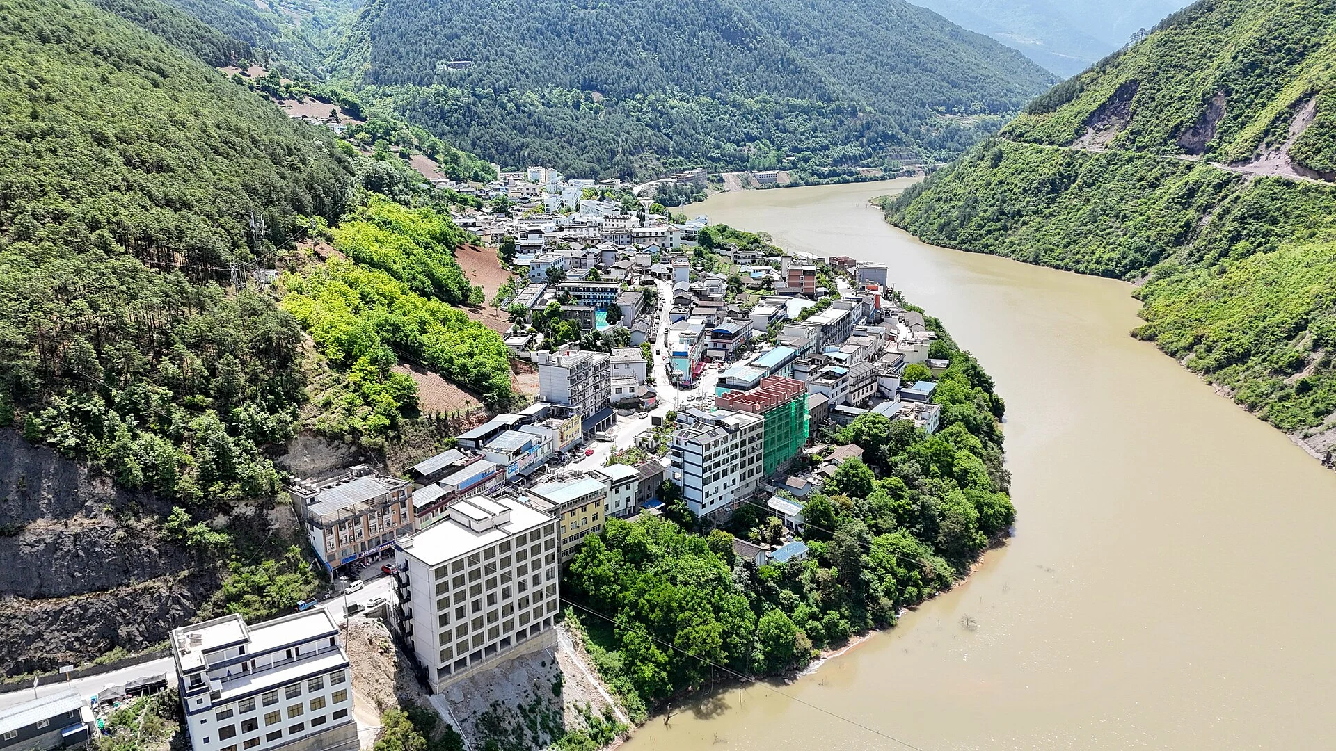
Use the evening to repack. Keep a small walking bag ready, charge your phone and power bank, prepare breakfast or a packed meal as agreed, and check the next day’s weather and access notice. Ask where your main luggage will be stored or transported while you walk. The reference itinerary leaves meals to travellers to pay for; any Vero Trip arrangement should state meals and accommodation separately in the written quotation.
Day 2: Nanjiluo Lakes 1–5, then Feilai
Understand the approach before counting lake kilometres
The supplied sequence is Badi → Nanjiluo Visitor Centre → Achidaga village (阿迟打噶村, also written 阿尺打噶村) → Hazhiduo (哈知朵) → Forty-Three Bends (四十三道拐) → the numbered Lakes 1–5, followed by the return and onward transfer to Feilai. English spellings vary, so save the Chinese names with your confirmed meeting point.
Do not build the day around an old account of a vehicle dropping travellers beside an upper lake. Entry procedures, vehicle limits and the permitted walking start can change. Before booking, obtain the current walking start and finish, the full expected distance, the turnaround time and the route permitted on that specific day. These details determine the effort far more reliably than a scenic photograph.
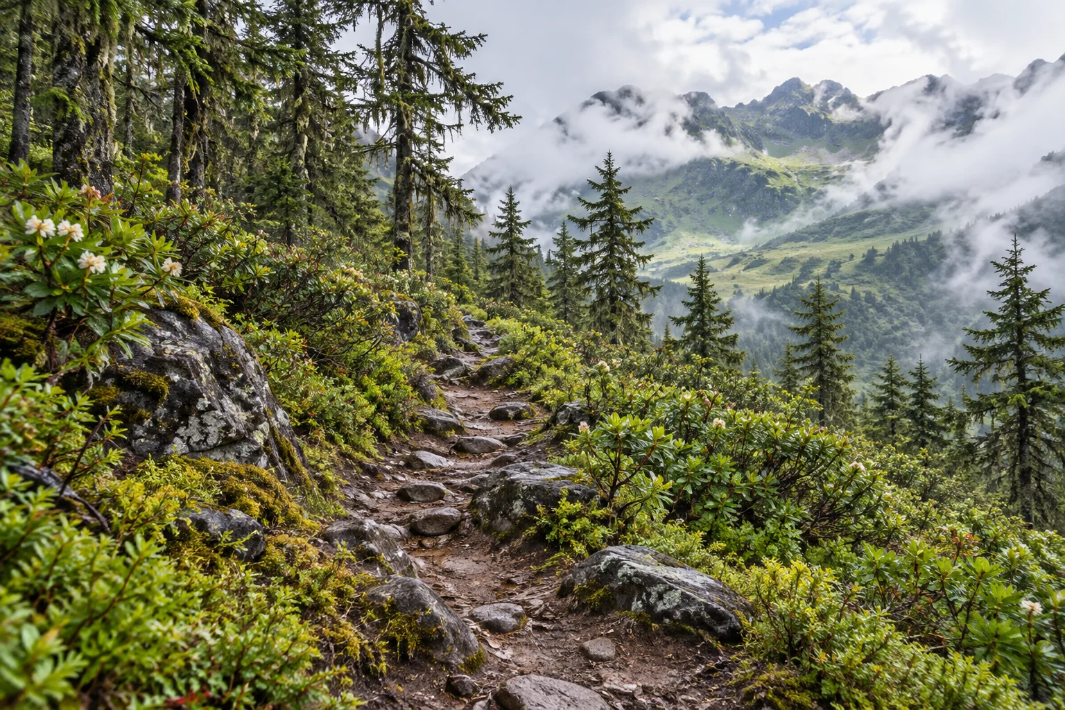
The source’s approximately 22 km / eight-hour estimate is a useful warning about the scale of its complete walking day. It is not a universal measurement for every current Nanjiluo visit. A revised authorised drop-off can change the distance; weather, pace and stops can change the duration. Ask for the whole-day estimate, including the approach, return and transfers, before deciding whether this version suits you.
At the lake cluster: keep the walk within the approved circuit
Nanjiluo is the centrepiece of the trip: alpine water, forest and mountain slopes, with changing views as light and cloud move across the basin. This itinerary concentrates on the Lakes 1–5 sequence. It does not add a larger circuit beyond those lakes, an overnight camp or a summit objective. Follow the route and turnaround instructions confirmed locally, even when a photograph suggests an inviting path farther on.
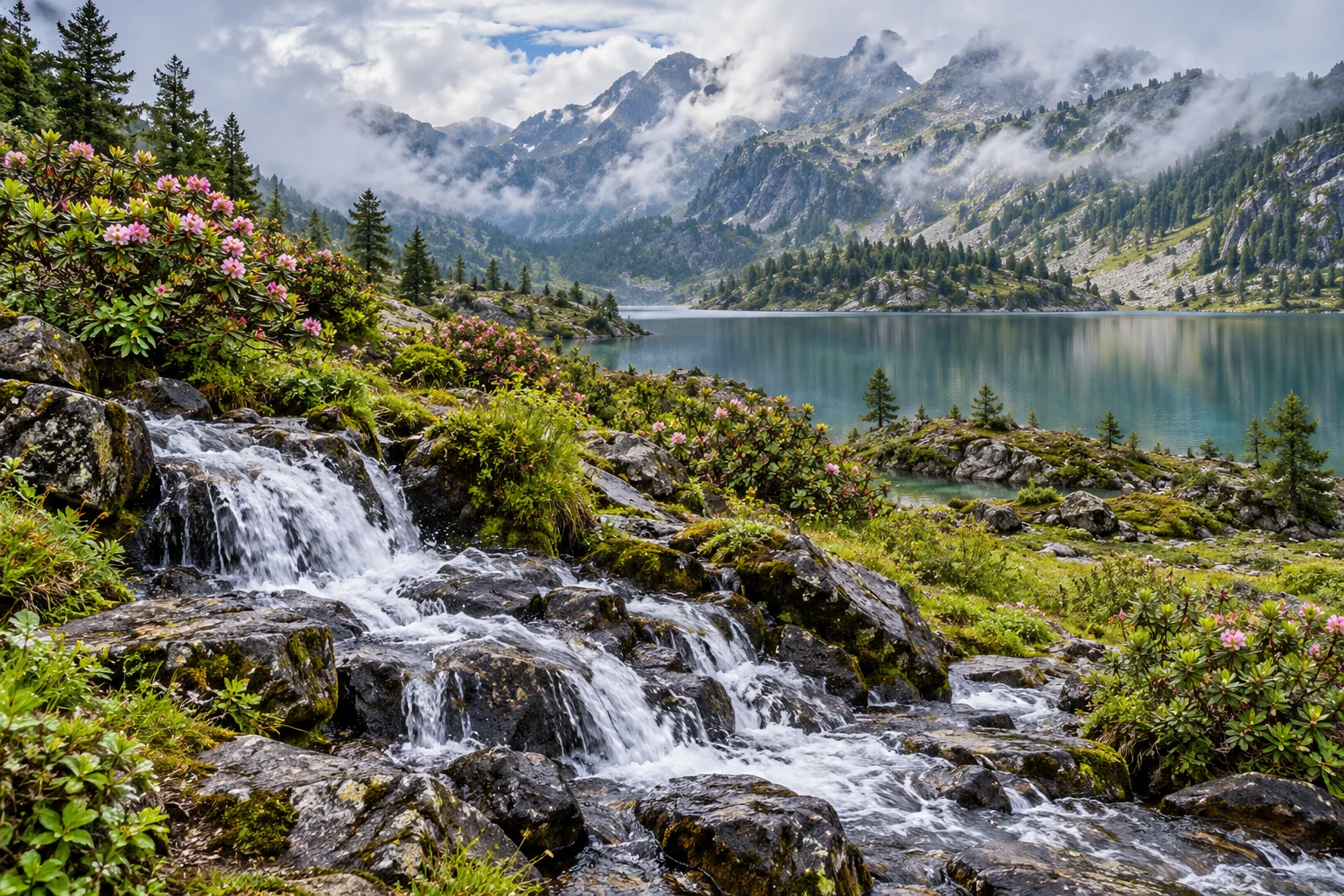
Make photography part of the walking rhythm. Pause at stable, permitted places, keep your bag away from wet edges and leave enough energy and daylight for the return. A cloud break or reflection is a bonus, not a reason to miss a turnaround. Stay on established paths, carry all rubbish out, and leave water, plants and stones undisturbed.
Reservations and access: what to confirm
Check the official admission notice and reservation channel for your intended date before paying for connecting arrangements. Published visitor information has directed travellers to the Chinese mini-program “南极洛旅游”; verify that it remains the current official channel. Ask specifically about available dates, the approved lake circuit, required documents, any check-in or briefing, and the current transfer system.
- For international travellers: confirm how a foreign passport is registered and checked, whether advance assistance is needed, and which original document to carry.
- For the walking day: confirm the meeting point, guide requirements, permitted drop-off, return transport, emergency arrangements and the last safe turnaround.
- For payment: obtain the live price and a breakdown of admission, local transport, guide fees and any refundable deposit. Read the weather-cancellation and refund terms before purchase.
A guide article cannot establish access for a future departure. If admission or the permitted route cannot be confirmed, keep the day flexible and arrange an authorised alternative with your travel planner. Do not travel to a checkpoint expecting an informal exception.
Continue to the Feilai Temple area
After the walk, the route continues towards Feilai for the second night. This is a transfer after a demanding day, so avoid adding extra sightseeing by default. Keep warm layers and a snack accessible in the vehicle, and agree on a realistic dinner and check-in plan. The accommodation should be identified by its actual location; a room in the Feilai area does not automatically include a private mountain-facing balcony.
Day 3: Meili sunrise, the Great Bend and Shangri-La
Feilai: a chance to see Meili’s peaks catch the light
Be ready before sunrise if conditions allow. The Feilai area faces the Meili Snow Mountain range, with Kawagebo as its best-known peak. On a clear morning, early light can colour the snow gold—the scene often described as “sunshine on the golden mountain”. Cloud may hide part or all of the range, and the gold effect is never guaranteed.

Choose a safe public viewing place, dress for a cold stationary wait and check the local sunrise time the evening before. Keep the departure plan flexible enough for breakfast. A clear daytime view can be rewarding even if the sunrise itself is clouded; the real photograph above shows the mountain in daylight, not a promise of sunrise conditions.
Jinsha Great Bend: the northern river panorama
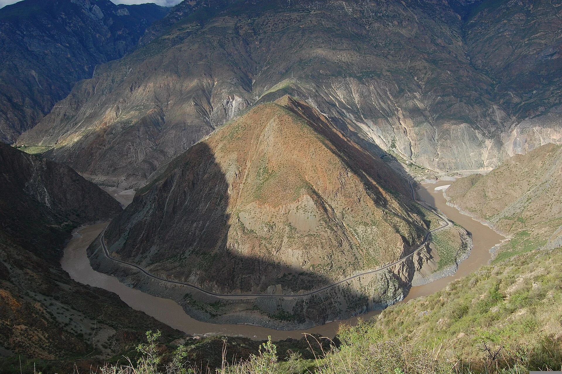
Continue towards the Jinsha Great Bend viewpoint, also called Moon Bay in many itineraries. Here the river curves around a prominent rounded landform, creating a different view from Shigu’s First Bend. Allow time for the designated viewpoint and its access arrangements. The image below is a real view of this northern bend.
Helong Bridge: a river crossing on the return corridor
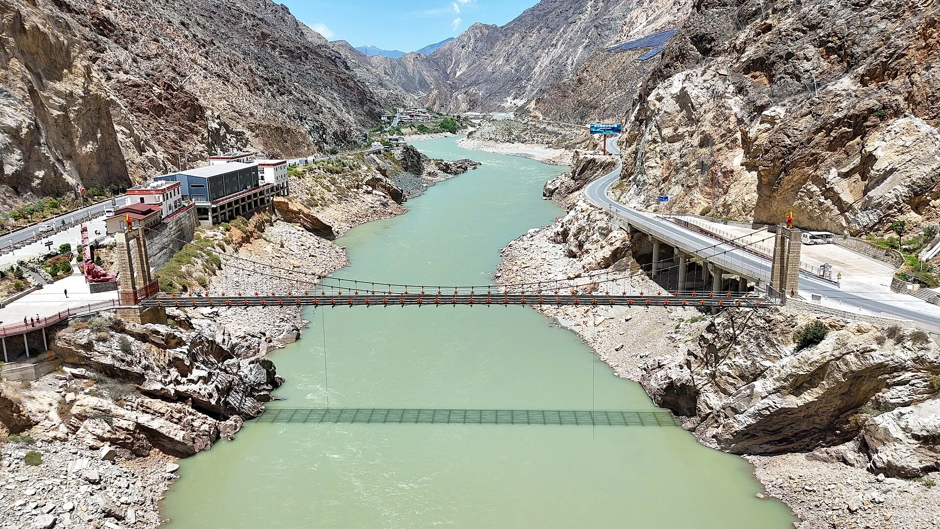
Helong Bridge connects another part of the Jinsha River story to the journey. Treat it as a short scenic or contextual stop where road conditions and safe stopping places permit. A bridge crossing is not automatically a pedestrian viewpoint: follow local signs and avoid stopping on the carriageway or entering traffic for a photograph.
Napa Lake: leave room for a changing landscape
As the route reaches the Shangri-La area, Napa Lake introduces open water, wetland and grassland scenery. The balance between water and grass changes with season and conditions, so the lakeside scene on your date may differ from a photograph. Use an established viewpoint or permitted access point, and give grazing animals and local herders space.
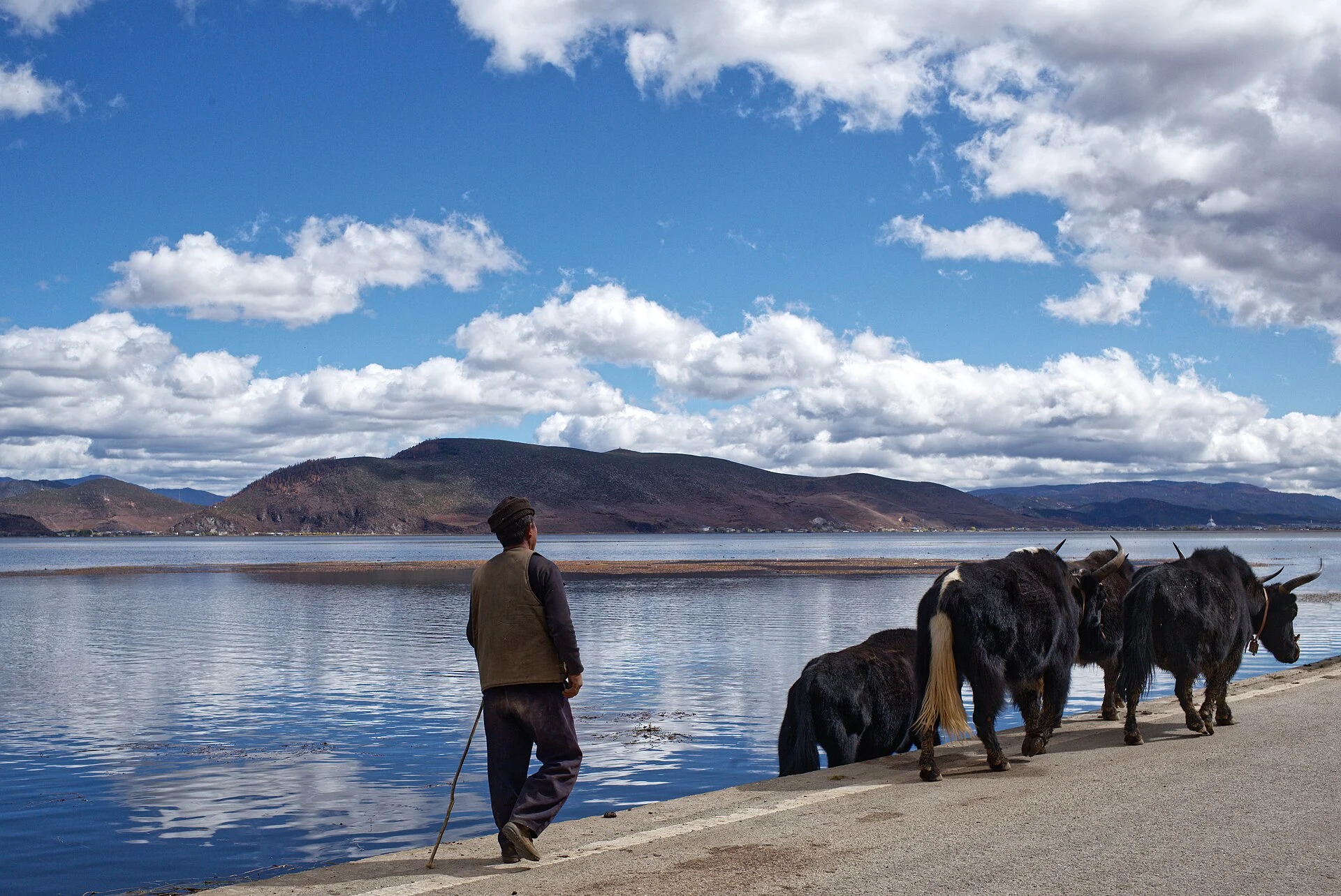
The source specifies a Napa Lake viewpoint stop. It does not establish a complete lakeside circuit, horse ride or other activity. If you want extra time here, reduce another stop or extend the itinerary instead of squeezing it into the final road transfer.
Dukezong Ancient Town, then back to Lijiang
Dukezong offers a change of pace before returning south: lanes, rooftops and Tibetan architectural details in the old-town setting. Choose a compact walk and a meal break that fit the day’s remaining driving time. After a sunrise start and a mountain walk the day before, a slow visit often works better than a checklist of every corner.
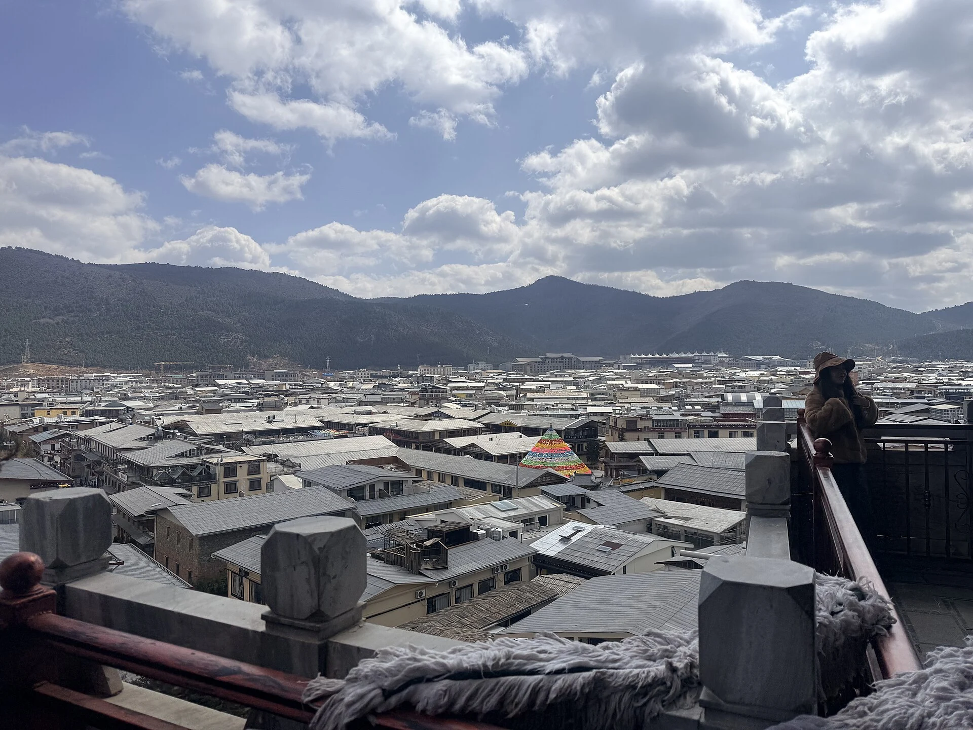
The day-three list is ambitious. Traffic, road works, weather and the time spent at sunrise can require shorter visits or fewer stops. Agree on priorities before departure, and avoid a tight flight or train connection immediately after returning to Lijiang. If Shangri-La is your next destination, ask whether finishing there would make more sense; this changes the transport plan and needs separate confirmation.
How to prepare for the Nanjiluo walking day
This loop fits travellers comfortable with a full day of sustained walking, an early start and changing mountain weather. Arriving at altitude and immediately taking on a long hike is a poor way to begin. Allow time to acclimatise and discuss your own health circumstances with a clinician when appropriate. Fitness alone does not prevent altitude illness. Stop ascending if symptoms develop; worsening symptoms, breathing difficulty at rest or confusion require urgent help and descent when it can be done safely. See the CDC’s altitude travel guidance for preparation.
- Wear: broken-in walking shoes with grip, layered clothing, a waterproof outer layer, warm hat, sun hat and gloves suited to the forecast.
- Carry: drinking water and food for the confirmed walking duration, sun protection, a charged phone, power bank, headlamp, personal essentials and a bag for rubbish.
- Arrange: a guide and communications plan appropriate to the current operating rules, an agreed turnaround, and the correct cover for your planned hiking activity.
- Check: the latest weather and admission notice shortly before departure. Snow, ice, rain or poor visibility can change or cancel the walking plan.
A hotel’s availability does not establish trail access. Likewise, a road transfer being available does not establish that the hike suits your group. For broader preparation, the equipment and acclimatisation principles in our Yunnan high-altitude hiking preparation guide are useful; its Abuji-specific route details do not apply to Nanjiluo.
Frequently asked questions
Is Nanjiluo a short lake walk?
Not in the supplied itinerary. Its full hiking day is estimated at approximately 22 km and eight hours, including the approach and return. Confirm the current walking start and full route before comparing it with shorter lake-circuit descriptions.
Can I see Nanjiluo and Meili in three days from Lijiang?
The reference loop combines them with nights around Badi and Feilai. It is a compact schedule with long road sections and one substantial walking day. Add preparation time before the loop and a buffer after it, and extend the trip if you prefer slower village and lake visits.
Will I definitely see Meili’s golden sunrise?
No. The view depends on cloud, visibility and light. Stay near a suitable Feilai viewing area, check the sunrise time and treat a clear golden view as a possibility rather than an included result.
Are the First Bend and Moon Bay the same stop?
No. This route visits the First Bend near Shigu on day one and the northern Jinsha Great Bend, often called Moon Bay, on day three. Keep both names and locations distinct when discussing transport.
What should my quotation include?
Ask for exact accommodation locations, room type, each transfer and meeting point, the current Nanjiluo booking and guiding arrangements, passport handling, meals, luggage arrangements and cancellation terms. The price and services advertised in the source itinerary are the source seller’s offer, not a confirmed Vero Trip package.
Plan a Nanjiluo and Meili journey around your pace
Share your travel dates, group size, recent hiking experience, preferred daily walking time and onward travel plans through Plan My Trip. Vero Trip can use those details to discuss a suitable itinerary and check the arrangements needed for your dates. For extra time around the return route, explore our Shangri-La travel guide.
Route reference: the supplied Nanjiluo + Meili three-day itinerary. Place context was checked against the Ministry of Culture and Tourism’s First Bend introduction, Tongle village reporting and Deqin’s Feilai and Meili introduction. The reservation-channel reference comes from October 2026 visitor information; consult the current official notice for admission, prices and operating arrangements.
Related Journeys to Compare
These existing routes offer starting points for the region or travel interests discussed above. Read the full daily itinerary to see what is included. A visit described in this guide, a specialist session or an international border crossing is added only when confirmed in your own programme.